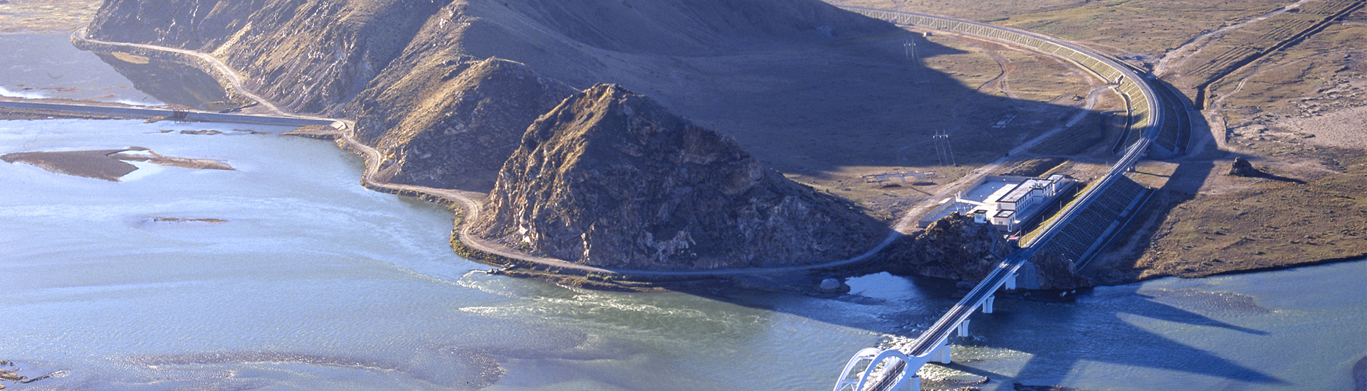
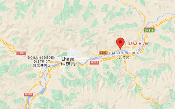
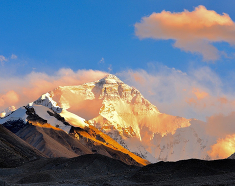
The Lhasa River originates from Mt. Nyanchen Thanglha Gangri. It is one of the main tributaries of the YarlungTsangpo, running through Nagqu, Damxung, Lhundrup, Medrogungkar, Taktse, Chengguan, Tohlung Dechen to Chushur County. The Lhasa River is 495 kilometers long with a watershed area of 31,760 square kilometers.
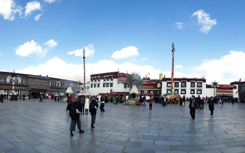
As a tributary of the YarlungTsangpo, the Lhasa River is also a place for Tibetan to have bathed and wash their clothes in the seventh month of the Tibetan calendar. During this Bathing Festival from Garmagun in the east to Sahu in the south and Rainbow Spring at the foot of the Sera Monastery, people are enjoying their bathing and washing.
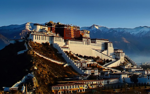
A legend says during the festival the Lhasa River water is as good as the holy water. If you like, you can join the local people to have a bath in this holy water. In addition, on the southern bank of the river, you can see a reflection of the Potala Palace in the river. Some photographers and fans wait here for this wonderful scene. The Tablet to mark the construction of the Qinghai-Tibet Highway stands on the bank in front of the Long Distance Bus Station in the city proper. Also, visitors can hire a canoe sewn up with pieces of cattle to cross the river here.


.jpg "Tibetan Local Travel Agency")


0 Comment ON "Lhasa River"
Check All Tibet Travel FAQs Here